Whitsun weekend, 2026. The country bakes under an unrelenting sun. Heat health warnings have been issued, with daily highs of 32C; the hottest May day since records began.
Alright, time for some parks!
Day One: 25th May
On the first day, I tackled the four remaining parks of my challenge that were close to the edge of my 20-mile boundary, in a long arc from Wiltshire down into Hampshire.
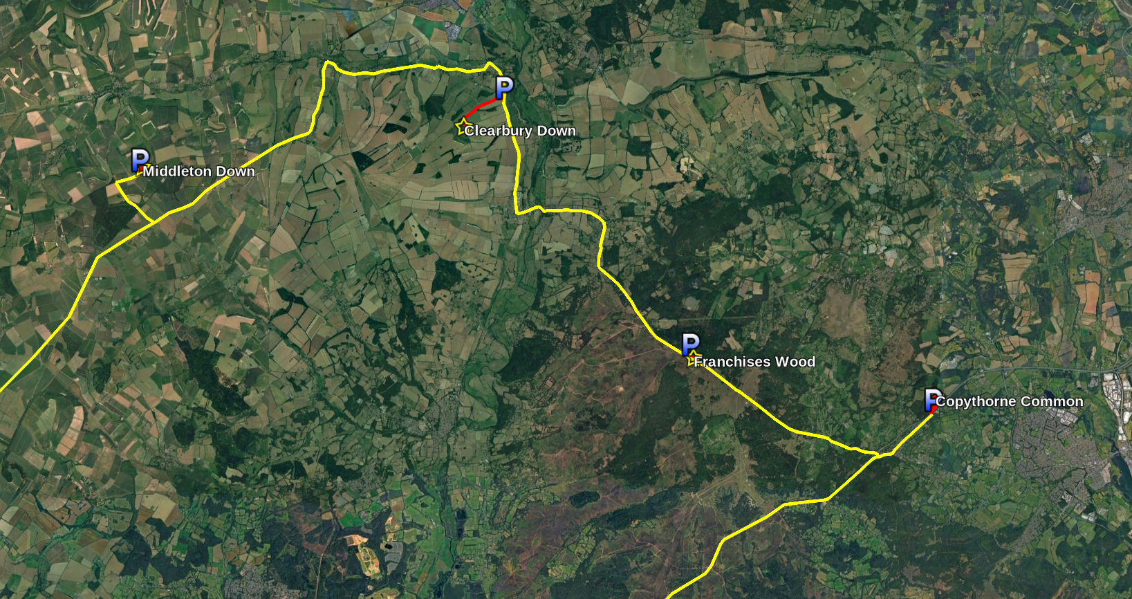
The parks are described below by their “primary” POTA references, the ones that I wanted to tick off my list, but the first two were in Cranborne Chase and the second two in the New Forest, providing a bonus POTA reference and a WWFF reference for each.
I also called “CQ Tiles” today. “Tiles on the Air” is a new programme that has no fixed reference list, just your Maidenhead square, but is all about encouraging portable operation wherever and whenever. It gives bonus points for distance hiked and pack weight, so it’s right up my street! I’d encourage anyone interested to give it a go.
0830-0930Z: GB-6613 Middleton Down
The easiest access to Middleton Down is from Ox Drove. You head down a series of increasingly small country roads (though all of them are at time of writing in a good state of repair), approaching from the west past the farm, until arriving at an inconspicuous gate. There’s space for a car on the verge here, and a few more spaces back up the road.
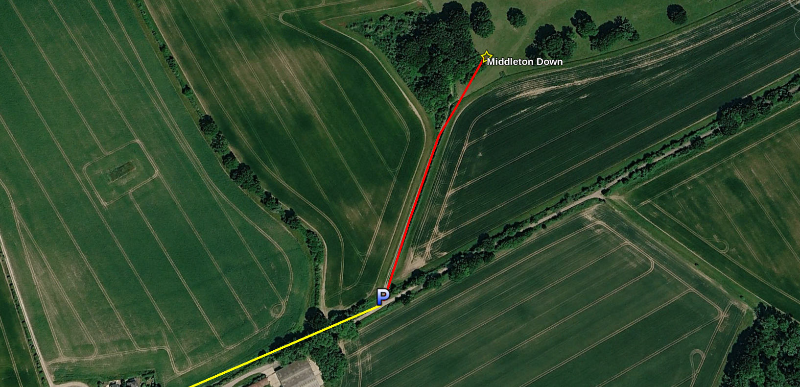
Really, Middleton Down is peak POTA. It’s quite accessible, only 200m or so walk from a parking spot, has lots of open space for antennas and also plenty of trees to find shade under—a recurring theme of this rove.
This activation was my first Hare on the Air—no photos I’m afraid as he ran much too quick for me!
Another recurring theme of the day was feeling unusually blessed by the bands. I set up and found a free frequency on 40m immediately, so based on recent performance I assumed the worst; that the band was dead. But it was most certainly not, and after calling CQ only a couple of times, I had a pile-up of 44 QSOs in 30 minutes.
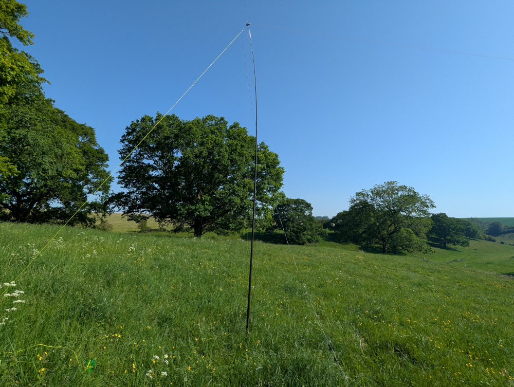
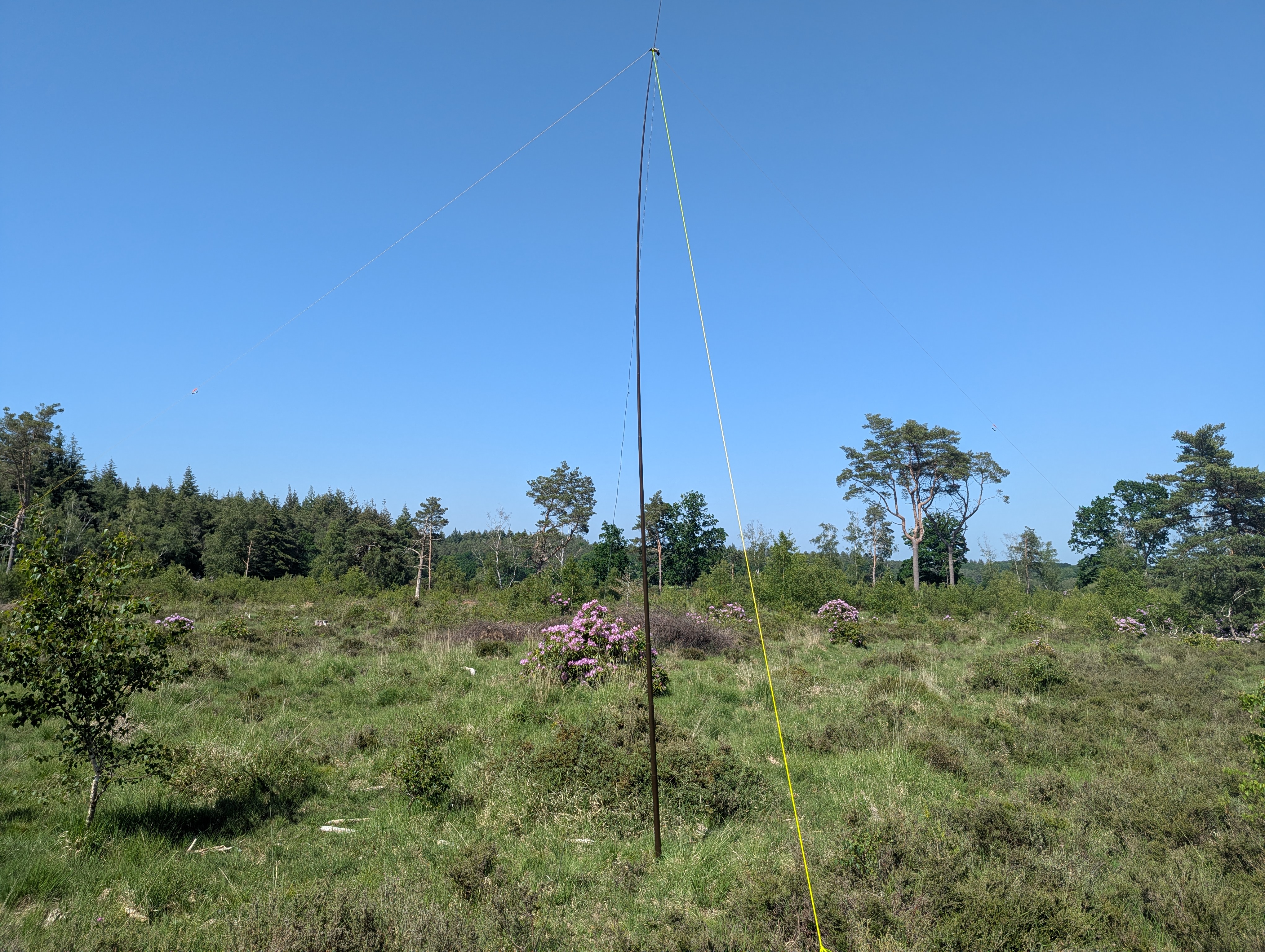
Equipment for all the Heatwave Rove spots was the FT-891 running at 100W from a 20Ah battery; this activation used the inverted-V dipole antenna and 6m SOTAbeams Tactical Mini pole.
The air temperature had started at 24C when I arrived on site, but when I got back to the car it was already 27, and pushing higher. By the time I reached my next destination, it had reached 30.
0945-1230Z: GB-6798 Clearbury Down
An all-time new one in the POTA system, I was a little put off by the fact the POTA site’s page for this park has a link to Grokipedia, of all things. I was quite prepared for Clearbury Down to be entirely fake, if not some sort of right-wing conspiracy. But other websites do mention it, including providing walking routes, and it turns out of course that it does exist.
The layby on the main Ringwood to Salisbury road is the ideal start point for this one, and after buying a couple of bottles of water from Josef’s Burger Van, I set off up the road. There’s 100m or so of busy roadside verge to deal with before you reach the start of the bridleway, heading west towards the Down.
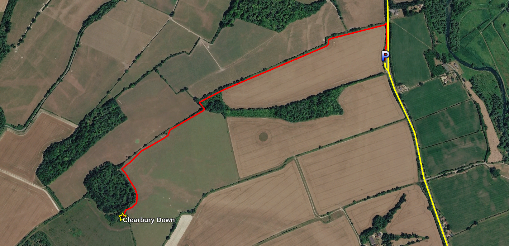
A bit of Street View recon showed the entrance to the bridleway as steep and overgrown, so I took a bamboo cane with me in case I had to whack my way through the nettles. Luckily it wasn’t so bad in real life, and after a steep slope of 5 metres or so, I was past a narrow gate and out into the field. (Jury’s out on whether you could really get a horse up this alleged “bridleway”.)
From the road to Clearbury Down is about a mile hike up a slight incline all the way. It’s not in any way steep, but the return journey was noticeably easier going. It’s also significantly rutted from tractor tyres, so ankle support is recommended. (Because of the heat I had, of course, worn my breathable “trail” trainers rather than my decidedly not-breathable walking boots. Sucks to be me.)
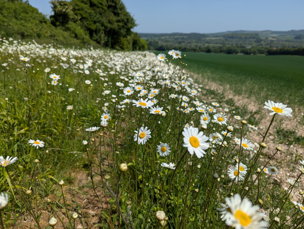
At this time of year the oxeye daisies are in full bloom around the hedgerows and corners of the fields. I’m not sure why, but there seem to be so many more of them this year than in years past. I also scored my first Partridge on the Air on the hike up.
Clearbury Down is capped by an Iron Age hill fort, WCA G-03856. Unfortunately the gates by which you could enter the area were locked shut, so I headed around to the south and up to the gate that divides the farmer’s field from the Down itself. By this point I was pretty exhausted from the heat, so I didn’t spend much time exploring, and just set up immediately in the shade of the closest tree.
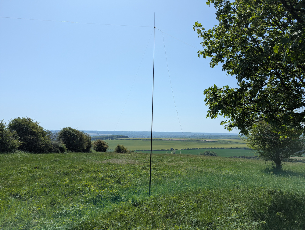
Again the bands were unusually kind, with my previous frequency still clear. The pile-up got going immediately, and I rattled through 66 QSOs in 54 minutes before I’d spoken to everyone I could, and it was time for the long walk back.
In today’s 30C heat, I got through just under a litre of water in this hike, so I would recommend anyone following in my footsteps to take at least that much. It’s not a long or tough hike by any means, but in weather this hot it takes it out of you.
1300-1330Z: GB-6799 Franchises Wood
Next on the hit list was Franchises Wood. Its website is a bit unclear about whether it’s really “open” in an “RSPB site” sense, but with several public rights of way crossing it, I figured I would head in anyway and see what antenna opportunities presented themselves.
Since the site claimed not to have a car park, I parked just across the road at—where else—Telegraph Hill car park, and prepared myself for some telegraphyphony.
Telegraph Hill, incidentally, is the highest point in the gently rolling New Forest. It was the site of the Napoleonic era Bramshaw Telegraph Station, a link in the chain from London to Plymouth. This was an optical shutter telegraph station, so not involving electrical or radio telegraphy, but it’s a nice piece of history nonetheless. Unfortunately nothing remains of the site, and I don’t believe it is marked.
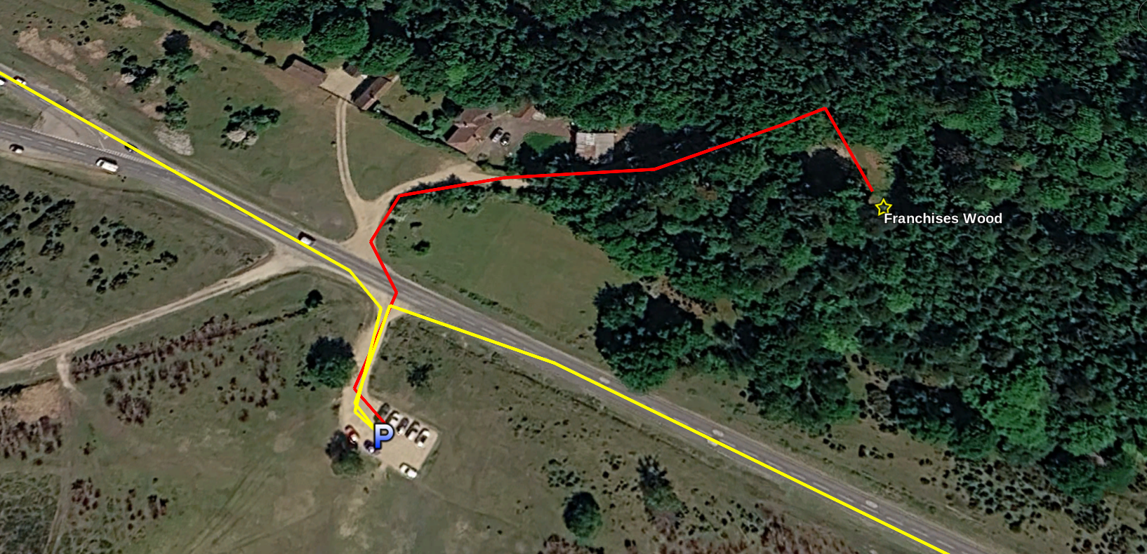
The site itself is thickly wooded and largely down in a deep valley, which would be great to explore but not so great for RF getting out to the ionosphere. Luckily, just inside the main by-way on the right-hand side is what looks awfully like… a (very overgrown) car park.
It had a low chain fence to prevent anyone driving in, but nothing implied that people weren’t welcome, so I decided to do the activation from there. It was shaded from the south as well, which helped a lot as by this point the temperature had reached the day’s high of 32C.
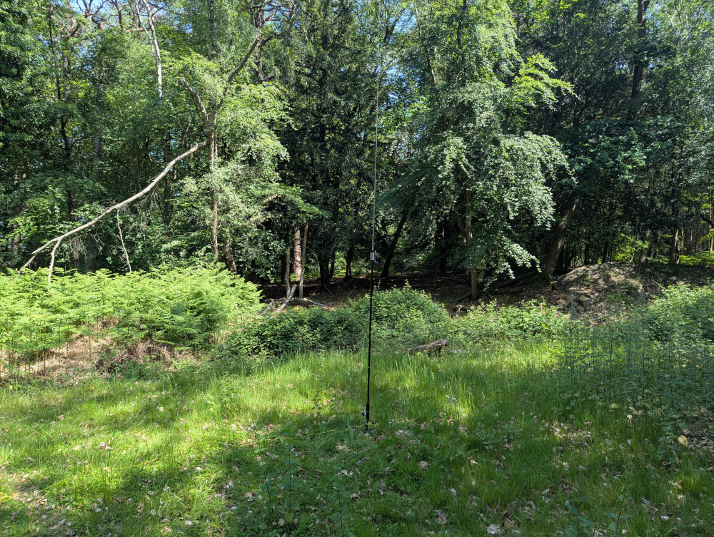
This time I packed the JPC-12 antenna since I knew space would be tight, and luckily the tripod too, since the car park surface certainly wouldn’t have supported a ground spike.
As I had the JPC-12 I decided to make this my first (and, it turns out, only) 20m activation of the day. I’d hinted in my POTA alerts that I’d do 40 and/or 20 at the other spots, but in the end the pile-up on 40m had been so big that I’d run out of time for any other bands. Here, without access to 40m in any useful way, it would have to be 20.
I called CQ, and noticed the song of a nearby blackbird for the first time: we had synced up, my “CQ” and its two-tone call.
20m was definitely a quieter band, but I still rattled through 24 QSOs in 20 minutes. This being a rove, as soon as the calls dried up, it was “QRT” and on to the next one.
1400-1530Z: GB-6800 Copythorne Common
I wasn’t sure where to park for this one. I picked the lay-by by the school to the south of the site, although I noticed on returning to the car that it’s signposted as “parking on school business only”. (Good thing it’s a bank holiday.) There are some suburban roads to the north-east of the site that probably make a better entry point. But here’s my route:
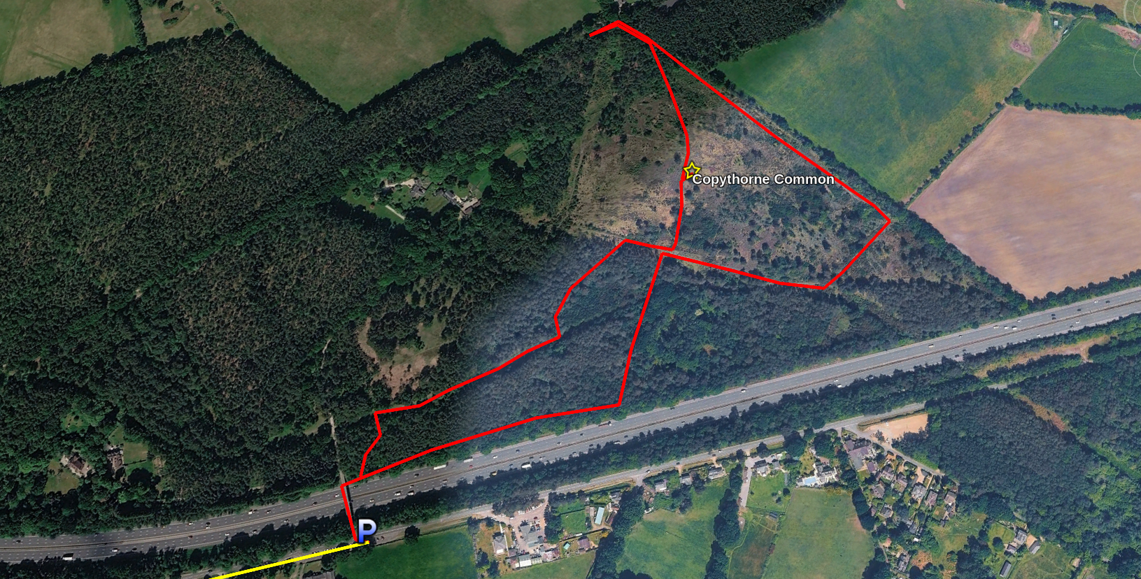
From my starting point, it was first over the motorway, and then immediately right through the gate. Despite the western end of the park being nominally woodland and the eastern being open heath, there’s much more open space to the west. Take the northern forks of each path and you’ll soon end up at a huge open grassy space. (Or, like me, you could discover this after activating in the middle of the heath section, and after wandering for 30 minutes to find enough space there for the dipole.)
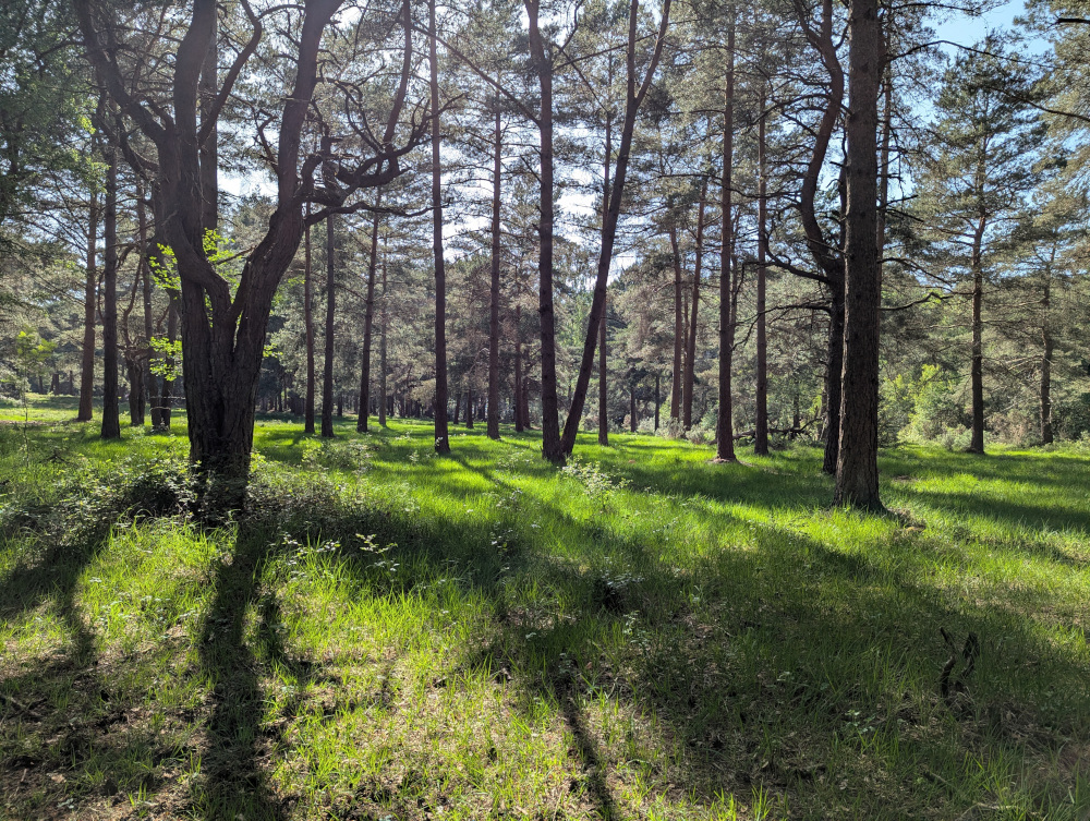
My elaborate route did allow me to hear a song thrush in the trees, so that was a bonus.
Again I had hoped to operate on both 40m and 20m here, but time and the pile-up got the better of me. Once again I found a clear frequency on 40m immediately, and got a pile-up from the very first “CQ”. (This park was another all-time new one in the POTA system, which probably helped.)
An hour and 64 QSOs later, I was fast running out of time, and sadly on this one I couldn’t even make it to the end of the 40m pile-up. I sadly called “QRT”, packed up, and headed out.
In total on the day one I made 198 QSOs, 174 on the 40m band and 24 on 20m; I walked 4.6 miles and took 10900 steps, got through just under two litres of water and 500ml of tea.
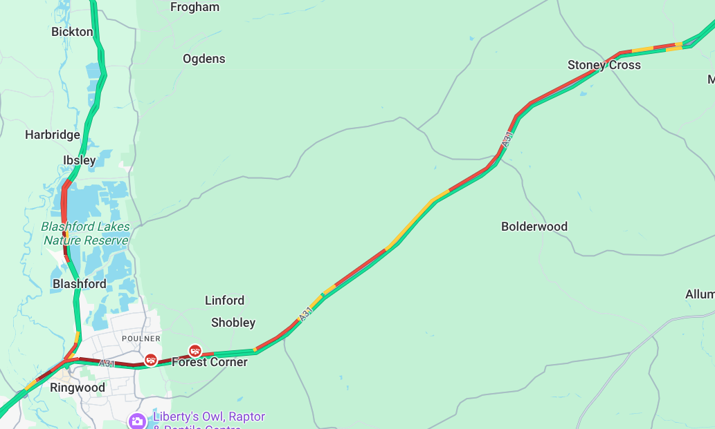
And as always I’m immensely glad that what others think of as a holiday destination, I know as home. I had a nice easy 30 minute drive back down the dual-carriageway towards Dorset. The tourists, heading home after their weekend at the seaside… not so much:
Day Two: 26th May
Day two covered the three remaining local parks that I hadn’t yet activated (excluding the one it’s currently not possible to activate). This was a much more laid-back day: no significant hikes, and not straying far from civilisation.
1015-1045Z: GB-6871 Stanpit Rec
Nice and simple: park in the free car park, head out into the middle of the field, and set up. The hard-packed ground today wouldn’t support pegs or ground spikes, so I was left with the JPC-12 and its tripod base again.
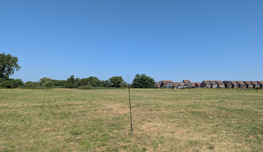
Luckily, the 20m band was popping this morning, and despite it being a normal working day in most countries, I didn’t struggle for contacts. In fact it was so well open that I exchanged 58 (sent) and 55 (received) reports with Rich VE9RK over in New Brunswick, Canada. I had calls from VE1SK, KB1HNZ and N2IGW as well, for a total of four transatlantic contacts. I also had a QSO with Mehmet TA4YMA in Turkey, a country I often struggle to get in the log.
1115-1145Z: GB-6879 Iford Playing Fields
Another new addition to the POTA system; I did neighbouring Iford Meadows way back at the start of last year, but the adjacent playing fields have now been added as their own reference.
Once again the temperature was starting to hit 30C in the middle of the day, but unlike the wide open field at Stanpit Rec, there are some trees here to provide shade.
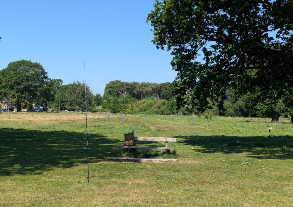
I had three more transatlantic QSOs here, with K3BOA as well as regular POTA hunters K2UPD and W1OW. After 12 QSOs in 15 minutes or so, things started to tail off, and since I was getting hungry I figured that was a suitable point to head off for lunch.
1230-1500Z: GB-6769 Happy Bottom
Yep, it’s called Happy Bottom. You can make your own jokes. It’s also park reference six-seven sixty-nine, in case you want to factor that in.
Much like Copythorne Common, I did a lot more wandering around here than I should have done, and activators heading here should avoid following too closely in my footsteps! The lay-by where I parked on Merley Park Road is the best starting point, but I chose to head down Roman Road into the woods. This part of Happy Bottom is thickly wooded with no good antenna sites. It took half an hour of wandering, out of the site through the farm to the north-east, back to the road, and finally on the southern route through the park before I found a grassy field to activate from.
Only after my activation, whilst doing a recce for club members looking to activate tomorrow, did I discover the biggest open field (which it turns out, they already knew about), known as Colin’s Meadow. If I’d passed by Roman Road and walked just 50 metres up Merley Park Road, I’d have discovered it immediately, and saved a good half hour of stomping around.
There were no transatlantic contacts here, but not for want of trying—fedi mutual Alex KR1ST was calling but we could not hear each other. I did have two contacts with local club members Seb M9SEB and Richard M0RHS on groundwave though, and discussed their plans to activate the site the very next day!
With 11 in the log after 15 minutes, I decided to cut the activation short. It was just too warm out there, and without much shade, I was really feeling the heat. It was time to head back to the car and be very grateful for its A/C!
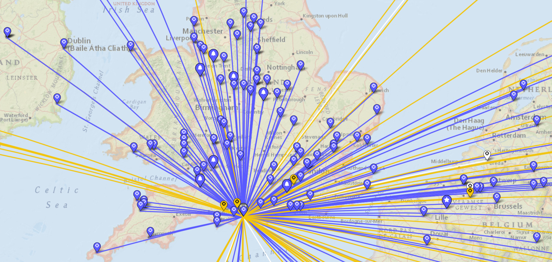
Here’s the map of all contacts on this two-day rove:
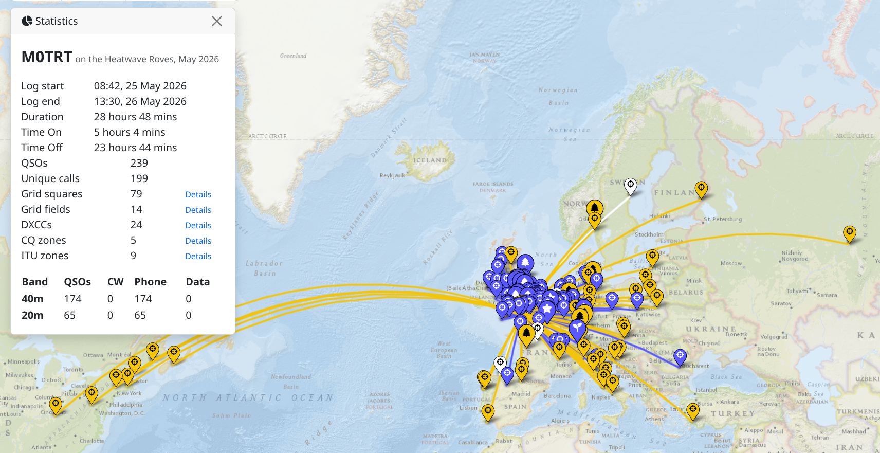
And here’s the detail of some of the 40m contacts:
For my challenge to activate all parks within 20 miles of home, that’s now 137 done—and just one remaining. It doesn’t open until July. Let’s hope the local POTA activators or country reps are taking pity on me, and don’t add too many more parks in the next month…
Thanks to all my contacts across the last two days. Catch you on the air next time!
Comments